Here’s how evacuations in Louisiana work
3 phases make up the state’s evacuation plan
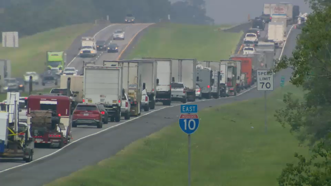
Traffic moves along Interstate 10 in Crowley, Louisiana, on Oct. 8, 2020, as people evacuate ahead of Hurricane Delta.
(FOX News)
Louisiana is no stranger to hurricanes, and emergency officials have developed a plan aimed at getting people out of harm’s way when a storm bears down on the state.
Coastal and near-coastal areas of the state are divided into three evacuation phases, which are triggered depending on the circumstances of each storm.
The state’s evacuation plan is activated whenever a slow-moving Category 3 storm threatens the area. It’s also activated when a Category 4 or 5 hurricane could make landfall.
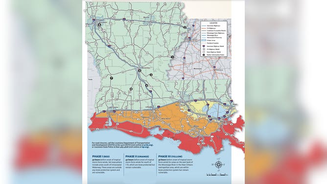
Louisiana's evacuation phases are seen on this map found in the 2021 Louisiana Emergency Preparedness Guide.
(State of Louisiana)
Phase 1
The first phase is along the immediate coast, which includes areas that are the most vulnerable to storm surge. This evacuation plan is activated about 50 hours before tropical-storm-force winds are expected to arrive along the Louisiana coast. No highway routes are restricted during Phase 1.
Phase 2
The second includes areas south of the Interstate 10 corridor and is started about 40 hours before tropical-storm-force winds arrive. No highways are restricted during Phase 2.
Phase 3
The third phase is the most serious of the state’s evacuation plan. It covers areas south of Interstate 12 and north of I-10 and east of the Mississippi River, including Baton Rouge, New Orleans, Lake Pontchartrain and Lake Maurepas. This begins about 30 hours before tropical-storm-force winds arrive along the coast. This includes evacuating New Orleans. Contraflow lanes, in other words turning inbound lanes outbound, and highway restrictions will be used as necessary to facilitate the evacuation.