Tornadoes, hail, flooding hit Arkansas as stormy weather continues Tuesday
There were six reports of tornadoes, including at least one twister that was confirmed by the weather observer at Little Rock Air Force Base, which triggered the National Weather Service to issue a rare Tornado Emergency
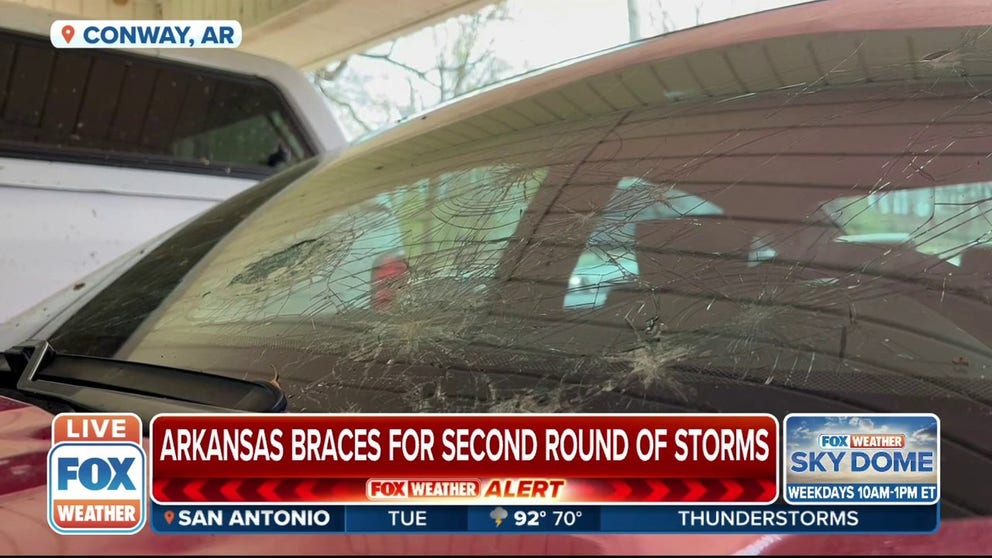
Arkansas braces for second round of severe weather after getting pounded on Monday
FOX Weather multimedia journalist Will Nunley is in Conway, Arkansas, where they are preparing for their second round of severe storms after getting tornadoes and hail on Monday.
LITTLE ROCK, Ark. – Arkansas was in the bull's-eye of the first round of severe storms Monday.
There were six reports of tornadoes, including at least one twister that was confirmed by the weather observer at Little Rock Air Force Base, which triggered the National Weather Service to issue a rare Tornado Emergency.
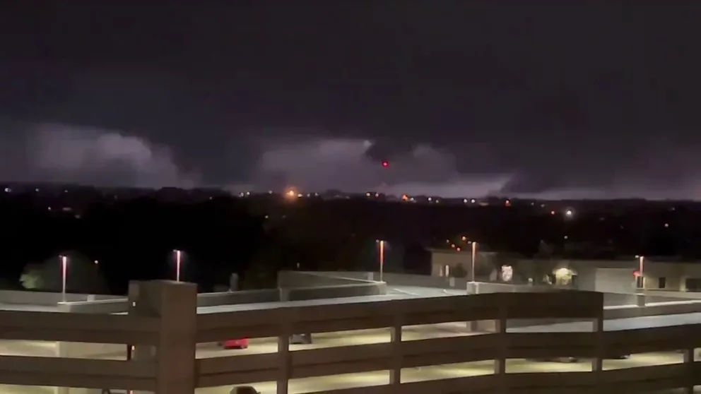
Possible dangerous tornado spotted during storm in Little Rock, Arkansas
Video captures a possible tornado on the ground in Little Rock, Arkansas. A severe storm brought a tornado emergency to the area.
An extraordinary video of a tornado was also captured in the town of Bloomer.
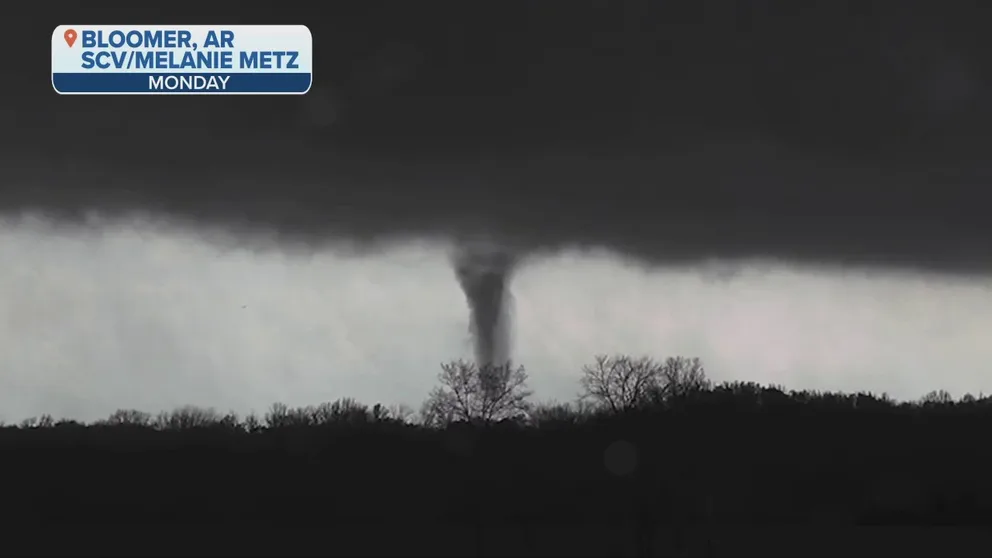
Watch: Video captures tornado spinning in Bloomer, AR
Watch as video captures a tornado spinning in Bloomer, Arkansas on Monday, April 11.
These storms also dropped very large hail, which went plunging into a pool in Benton. It almost looks like someone dumped a bucket of golf balls off the rooftop.
A hailstone of 4.5 inches in diameter, the size of a softball, was reported Monday evening in New Blaine, which was the largest hail in the state since May 4, 2020, according to the Storm Events Database compiled by NOAA's National Centers for Environmental Information.
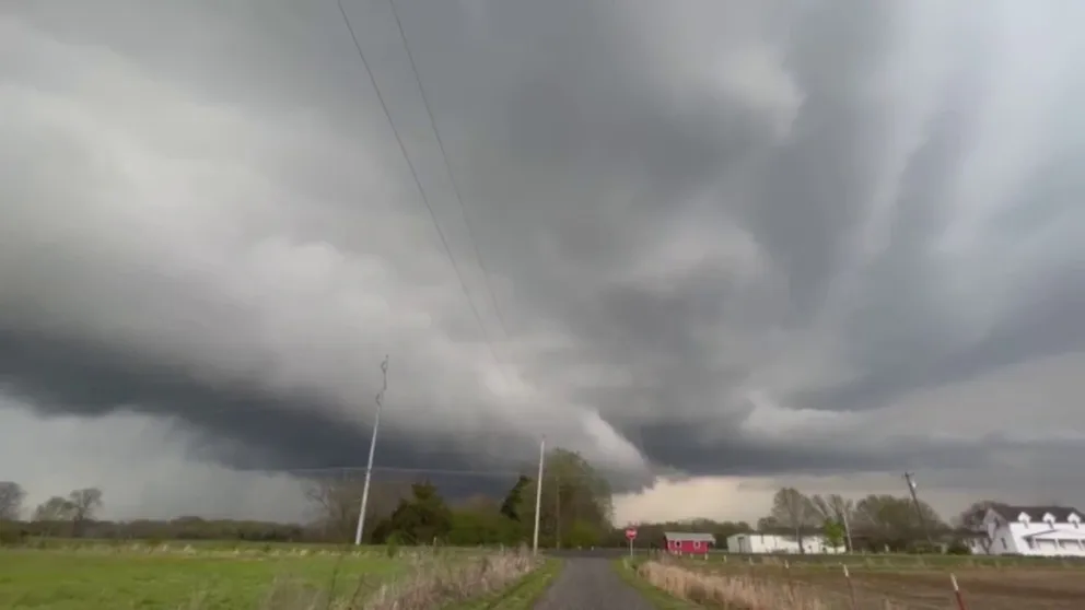
Supercell forms east of Fort Smith, Arkansas
Video captures a supercell forming in Subiaco, east of Fort Smith, Arkansas.
Here's a photo of a baseball-sized hailstone that fell near Charleston.
The hail also fell in the River Valley.
Flash flooding was also a major issue. Check out how high the water was in Paragould. FOX Weather urges you not to drive through conditions like this. A foot of water will float many vehicles, not to mention severely damage your car.
Another multiday severe weather outbreak – the fourth in four weeks – is targeting the Plains, Midwest and South, where thunderstorms will be capable of spawning several tornadoes, damaging winds and large hail.
MORE THAN 68 MILLION AMERICANS FACE THREATS OF TORNADOES, DAMAGING WINDS, LARGE HAIL TUESDAY
Scattered severe thunderstorms are expected to fire up beginning late Tuesday afternoon and continuing through Tuesday night across a broad area from the Central and Southern Plains to the Mississippi Valley.
The greatest threat of severe weather will be in portions of west-central and north-central Iowa, where wind shear – the change in wind speed and/or direction with height – will be favorable for the development of supercells capable of EF-2 or stronger tornadoes and hail larger than 2 inches in diameter.
Be sure to download the FOX Weather app for the latest forecast and weather alerts for your exact location, plus the 24/7 livestream of America's Weather Team.