

Strong tornado threat issued for Minneapolis tonight with severe storms expected to ignite over Upper Midwest
Tornado formation is dependent on whether enough humidity and daytime heating develop ahead of the storm's arrival.
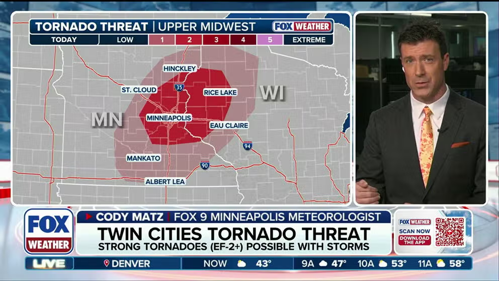
Strong tornado threat issued for Minneapolis with severe storms expected to slam Upper Midwest
Minneapolis is in the bull's-eye of a strong tornado threat that's expected to begin late Wednesday afternoon as a storm system moves out of the Rockies and into the Central Plains and Upper Midwest. The Twin Cities metro area and parts of western Wisconsin are under a Level 2 out of 5 risk of severe thunderstorms, with a particular risk for EF 2 or stronger tornadoes, according to NOAA's Storm Prediction Center (SPC). FOX9 Meteorologist Cody Matz has the forecast.
THE TAKEAWAY
- The Minneapolis metro area and parts of western Wisconsin are under a Level 2 out of 5 risk of severe thunderstorms, with a particular risk for EF 2 or stronger tornadoes.
- Tornado formation is dependent on whether enough humidity and daytime heating develop ahead of the storm's arrival.
- Strong storms are expected to continue through the early evening into Wisconsin.
MINNEAPOLIS — Minneapolis is in the bull's-eye of a strong tornado threat that's expected to begin late Wednesday afternoon as a storm system moves out of the Rockies and into the Central Plains and Upper Midwest.
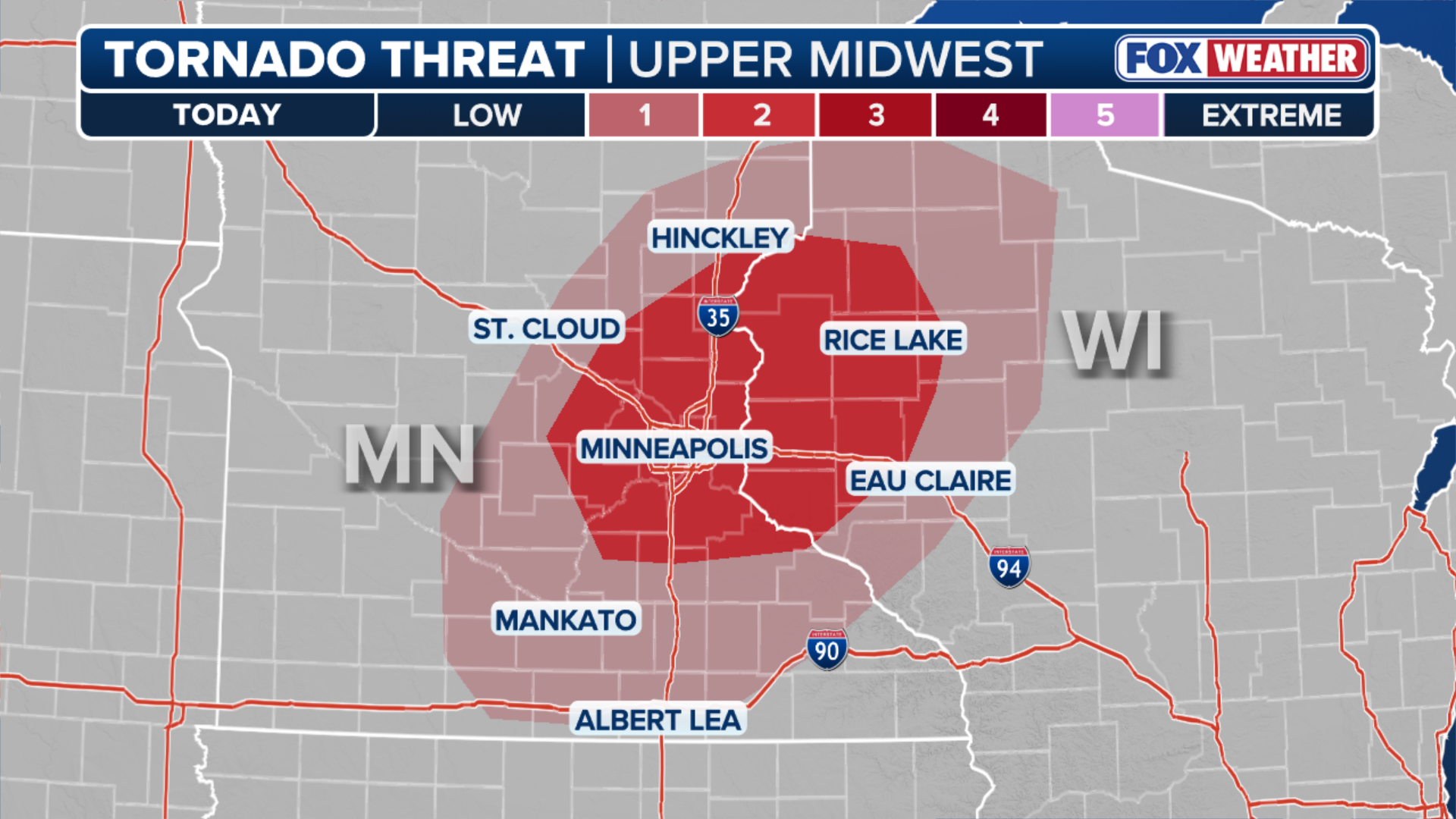
(FOX Weather)
The Twin Cities metro area and parts of western Wisconsin are under a Level 2 out of 5 risk of severe thunderstorms, with a particular risk for EF 2 or stronger tornadoes, according to NOAA's Storm Prediction Center (SPC).
Some of the strongest storms are expected in the Minneapolis area around 3 p.m. local time, the FOX Forecast Center said.
WINTER'S WARNING? MAJOR STORM TARGETS MILLIONS AMID INTENSIFYING SUPER EL NIÑO
Forecasters are tracking a pocket of strong, shifting winds in the atmosphere that could produce supercell thunderstorms and tornadoes if there is enough humidity and daytime heating ahead of the storm's arrival.
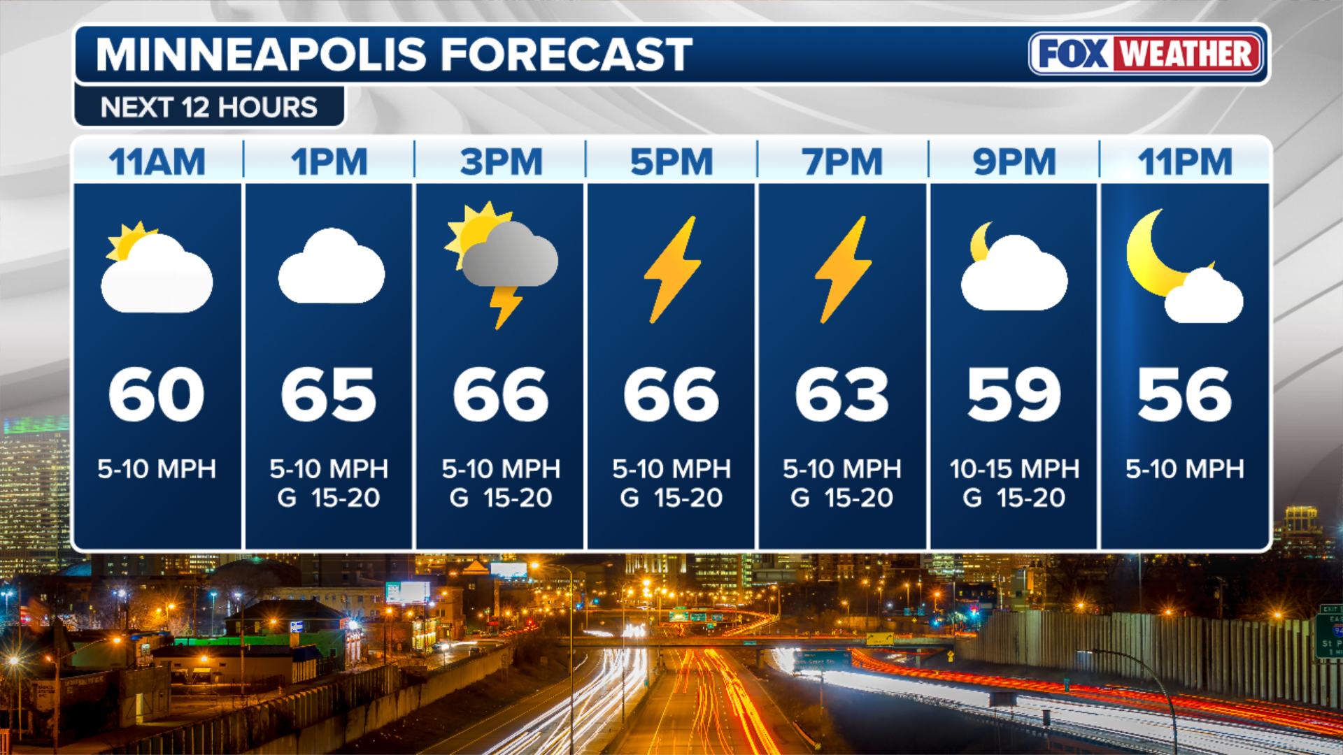
(FOX Weather)
Outside of the tornado risk, damaging wind gusts are expected to be the primary severe weather hazard.
A broader Level 1 severe weather threat covers central and southern Minnesota, western Wisconsin and the far-western part of Michigan's Upper Peninsula, as well as a corridor across central Iowa to southeastern Nebraska, including Omaha.
Strong storms are expected to continue through the early evening into Wisconsin.
Check back for updates on this developing story.