'Typical Kansas fashion': Snow falls in Wichita following severe storms, 80-degree day
Areas of light snow and flurries will move southeastward across the region through Thursday morning
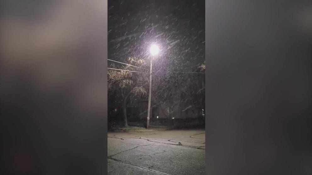
Snow in Wichita area as temperatures fall
Early morning snowfall brought flakes sprinkling down over El Dorado, Kansas, on March 31.
WICHITA, Kan. – It's been a clash of the seasons in Kansas this week.
Early-morning snowflakes sprinkled over the Wichita area on Thursday following severe storms and 80-degree temperatures just days prior.
Areas of light snow and flurries will move southeastward across the region through Thursday morning. While a major winter storm is not expected, accumulations up to around one-half inch are possible on grassy areas, the National Weather Service said. The period of light snow and flurries should end by 9 a.m. Central.
"In typical Kansas fashion. We get peaceful snowfall in El Dorado, KS despite the fact it was 80 degrees Tuesday," said Twitter user @stormchaserlife in the video she posted Thursday morning of the snowfall.
The NWS issued a Severe Thunderstorm Warning for the area Tuesday night with nickel-sized hail and damaging winds in the forecast.
'MOST INSANE STRIKE OF LIGHTNING' SPOTTED OVER WICHITA DURING SEVERE THUNDERSTORM
Breezy northwesterly winds will support chilly morning wind chills in the teens and 20s as afternoon temperatures reach the 40s to 50s, which will quickly melt any snow that accumulated.
Scattered rain showers and a few thunderstorms are expected to move eastward across the region late Friday afternoon and night, the NWS said. The strongest activity could produce gusty winds and brief heavy rain.
Much of the forecast area should see near- to above-average temperatures in the 60s Friday.