

Multiday severe storm and flash flood threat to sweep from Plains to East Coast
Strong to severe thunderstorms will develop across the Upper Midwest and central Plains on Tuesday, with hail, damaging winds and heavy rain possible.
Upper Midwest and Great Plains targeted for severe storms today
Portions of the Upper Midwest, Great Plains, and parts of the Northeast are expected to see nasty weather this week, with severe storms and heavy rain, potentially through Thursday.
THE TAKEAWAY
- Strong to severe thunderstorms will develop across the Upper Midwest and central Plains on Tuesday, with hail, damaging winds and heavy rain possible.
- Storms will spread from the central Plains to the interior Northeast on Wednesday, with a few wind gusts topping 60 mph.
- The threat will shift south Thursday, when heavy rain and flash flooding could impact parts of the Ohio Valley, Appalachians and Mid-Atlantic.
A powerful cold front will sweep across the Upper Midwest and central Plains on Tuesday, triggering strong to severe thunderstorms.
Storms and rain will spread into the interior Northeast on Wednesday, with showers and rumbles of thunder possible from Kansas to Maine. By Thursday, the front will move south, bringing wet weather to the Mid-Atlantic, central Appalachians and Ohio Valley.

(FOX Weather)
Labor Day was a relatively quiet day, although two brief tornadoes were reported in the Dakotas, according to the FOX Forecast Center.
Thunderstorms will continue Tuesday morning across parts of Minnesota and Wisconsin, bringing a risk of severe hail and wind gusts of 40 to 60 mph.

Watch: Intense Downpours Blast Johnstown, Colorado
Intense Downpours Blast Johnstown, Colorado, on Sunday Sep. 6, 2026.
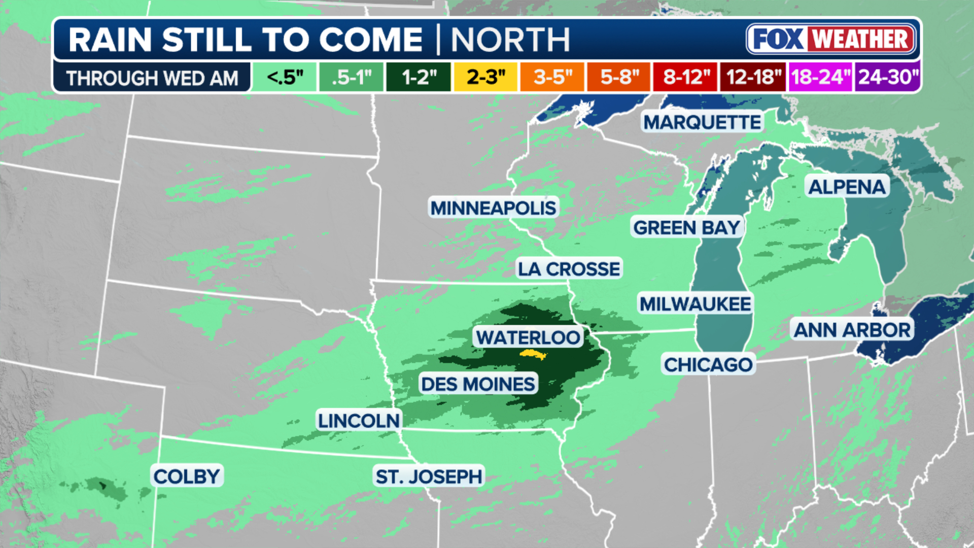
The severe weather threat will increase during the evening across Iowa, eastern Nebraska and possibly northern Kansas as storms develop ahead of a slow-moving cold front.
Storms could initially produce large hail and strong wind gusts before forming into lines, increasing the threat of damaging winds later Tuesday evening.
KNOW YOUR FLOOD TERMINOLOGY: WHAT FLOOD WATCHES, WARNINGS AND EMERGENCIES REALLY MEAN
Heavy rain will also accompany the storms. Because the front will move slowly eastward, some areas could see multiple rounds of thunderstorms and flash flooding.

(FOX Weather)
Iowa faces the greatest flood threat, with a Level 2 of 4 risk in place.
FEDERAL WILDLIFE OFFICER DIES WHILE HELPING RESIDENTS FLEE FAST-MOVING OKLAHOMA WILDFIRE
By Wednesday, thunderstorms will develop along the cold front from Upstate New York to the central Plains, a distance of about 1,000 miles.
The strongest storms could produce wind gusts of 60 mph or more. Western New York could see a greater threat of severe weather if conditions become favorable.
(FOX Weather)
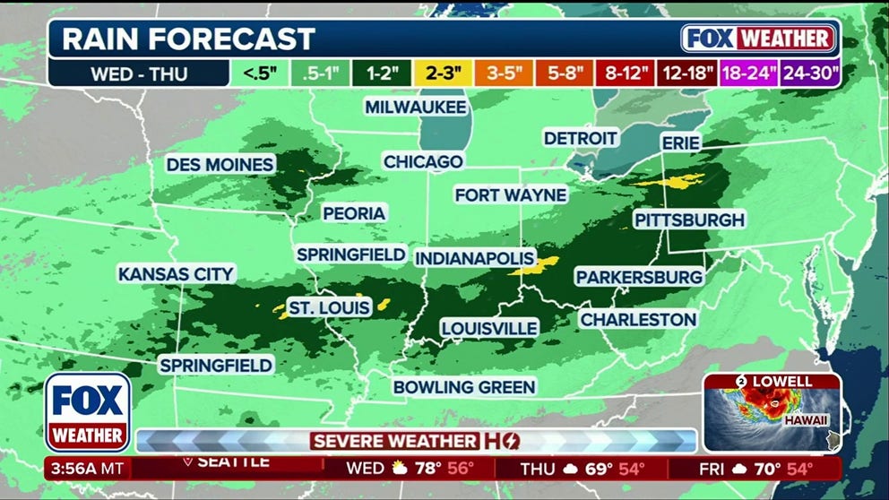
On Thursday, the storm threat shifts south with the front, focusing on the Mid-Atlantic, central Appalachians and Ohio Valley. Widespread severe weather is not expected, although a few storms could produce 50 to 60 mph wind gusts.
Heavy rain and flooding will be the main concerns as tropical moisture moves north from the Gulf.
SEVERAL DAYS OF HEAVY RAIN AND THUNDERSTORMS TO PERSIST ACROSS THE GULF COAST
The front, combined with winds pushing air up the mountains, could trigger numerous thunderstorms, the FOX Forecast Center said.
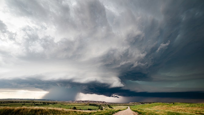
Supercell storm with dramatic clouds over the Badlands in South Dakota.
(mdesigner125 / Getty Images)
A Level 2 of 4 flood risk is in place for parts of Ohio, Pennsylvania and West Virginia, including flood-prone mountain and river valleys and urban areas from Pittsburgh south to Charleston.
Stay with FOX Weather for the latest forecast.