

Waves of Saharan dust linger over Gulf Coast as Florida temperatures push toward record territory
The dust has traveled over 5,000 miles, part of a massive plume stretching across parts of the Atlantic Ocean that's contributing to the ongoing pause in the Atlantic hurricane season.
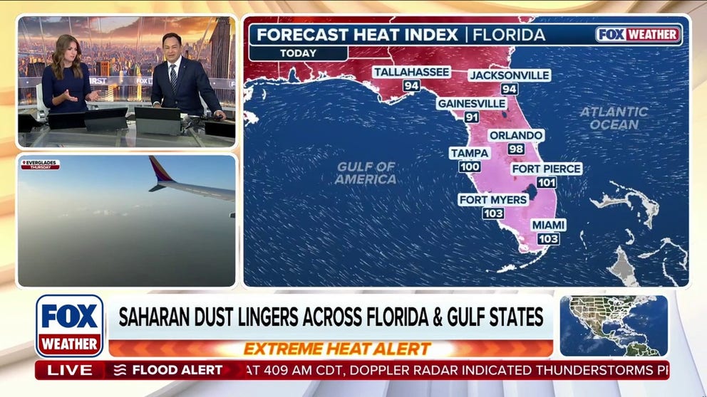
Florida, Gulf Coast to see lingering Saharan dust, hazy skies as temperatures rise
Waves of Saharan dust will linger across the Gulf states this week as temperatures push into record territory in Florida. While this plume isn't as dense as the one that moved through over the weekend, it could still affect air quality and produce vivid, hazy sunrises and sunsets across the region.
MIAMI — Florida and other parts of the Gulf Coast will remain under plumes of Saharan dust through Thursday. While dust concentrations won't be as high as they were over the weekend, they could still reduce air quality and produce vivid, hazy sunrises and sunsets across the region.
Meanwhile, scattered downpours along an old frontal boundary could mix in with the dust from time to time, the FOX Forecast Center said. The storm chances come alongside baking temperatures, with dangerous heat indices expected across parts of the Sunshine State.
SAHARAN DUST SETTLES OVER HURRICANE BREEDING GROUNDS. HERE'S WHAT IT MEANS FOR HURRICANE SEASON
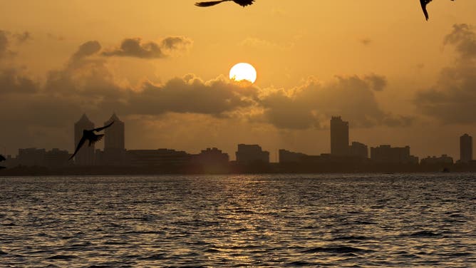
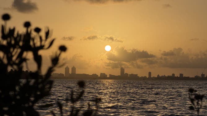
![Saharan dust created a hazy sunrise over Miami Beach, Florida, on July 10, 2026.]() Image 1 of 5
Image 1 of 5Saharan dust created a hazy sunrise over Miami Beach, Florida, on July 10, 2026. (FOX Weather Correspondent Brandy Campbell)
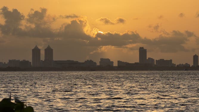
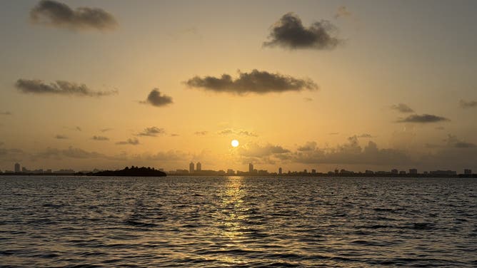
![Saharan dust created a hazy sunrise over Miami Beach, Florida, on July 10, 2026.]() Image 2 of 5
Image 2 of 5Saharan dust created a hazy sunrise over Miami Beach, Florida, on July 10, 2026. (FOX Weather Correspondent Brandy Campbell)
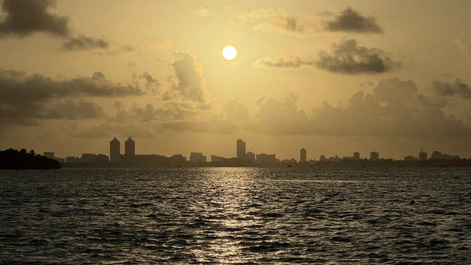
![Saharan dust created a hazy sunrise over Miami Beach, Florida, on July 10, 2026.]() Image 3 of 5
Image 3 of 5Saharan dust created a hazy sunrise over Miami Beach, Florida, on July 10, 2026. (FOX Weather Correspondent Brandy Campbell)
![Saharan dust created a hazy sunrise over Miami Beach, Florida, on July 10, 2026.]() Image 4 of 5
Image 4 of 5Saharan dust created a hazy sunrise over Miami Beach, Florida, on July 10, 2026. (FOX Weather Correspondent Brandy Campbell)
![Saharan dust created a hazy sunrise over Miami Beach, Florida, on July 10, 2026.]() Image 5 of 5
Image 5 of 5Saharan dust created a hazy sunrise over Miami Beach, Florida, on July 10, 2026. (FOX Weather Correspondent Brandy Campbell)
5 THINGS TO KNOW ABOUT THE SAHARAN DUST PLUME
The Saharan dust has traveled over 5,000 miles, part of a massive plume stretching across parts of the Atlantic Ocean that's contributing to the ongoing pause in the Atlantic hurricane season.
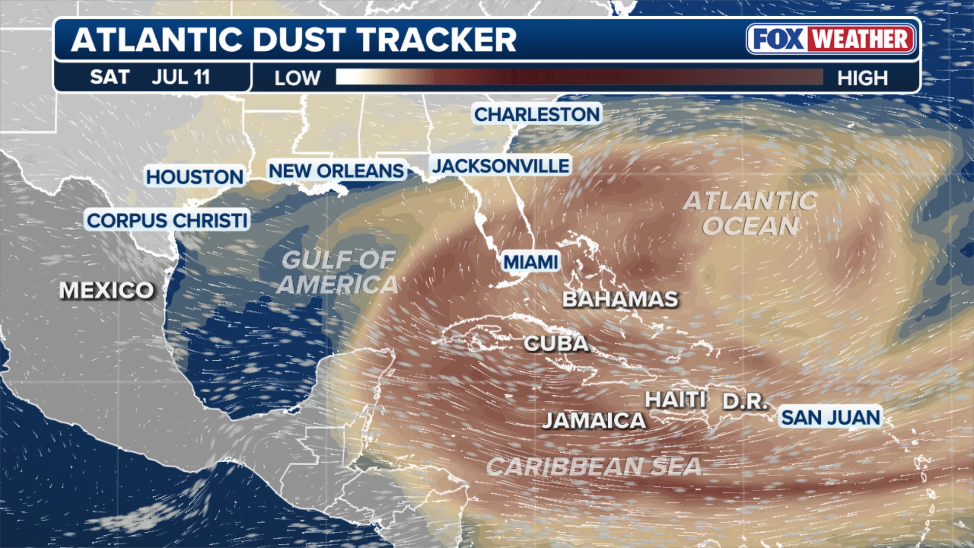
(FOX Weather)
While the dust helped trap heat near the surface over the weekend, it will have less impact on the weather in the coming days as dust concentrations decrease.
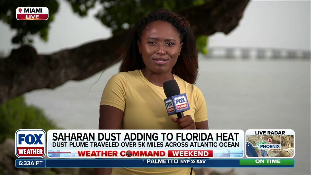
5,000-mile Saharan dust plume intensifies Florida heat
FOX Weather Correspondent Brandy Campbell reports live from Miami, where the heaviest concentrations of Saharan dust are blanketing Florida and the Gulf Coast this weekend. The plume has traveled over 5,000 miles across the Atlantic Ocean, acting as a thermal blanket that intensifies the extreme heat locked across the region.
According to the FOX Forecast Center, Florida will remain the epicenter for the worst of the dust, but it will drift into parts of Texas and along the immediate Gulf Coast through Thursday.
It's particularly noticeable during sunrise and sunset, producing a very distinct, milky haze across the sky.
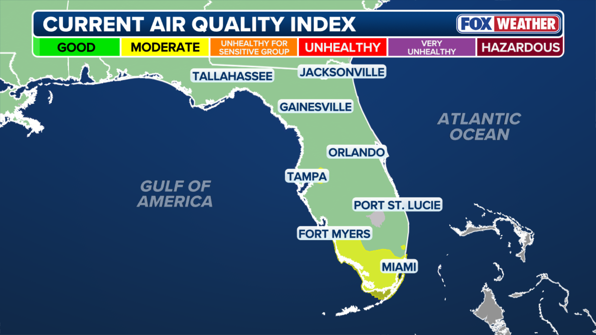
(FOX Weather)
While the dust will not have a direct impact on temperatures, dangerous heat indices across parts of Florida are expected to easily exceed 100 degrees through the week.
In fact, record-breaking temperatures are possible Tuesday through Friday in cities like Orlando and Tampa.