

Flash flood threats linger over Southeast as slow-moving storms bring downpours across region
The main flooding concern stretches from the Deep South into the Tennessee Valley and southern Appalachians, according to the FOX Forecast Center.
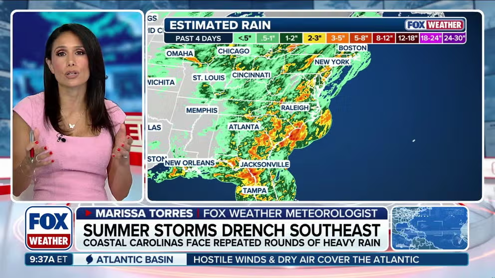
Summer storms drench the Southeast
An already soaked Southeast is facing another round of drenching summer storms as tropical moisture will keep showers and thunderstorms active across the Carolinas, Georgia, and Florida. FOX Weather Meteorologists Stephen Morgan and Marissa Torres break down the forecast and highlight areas vulnerable to flash flooding after multiple days of heavy rain.
Across the Southeast, tropical moisture will keep showers and thunderstorms active across the Carolinas, Georgia, and Florida, promoting more flash flood threats into midweek.
This comes as inches of rain have already fallen on portions of the region over the last few days.
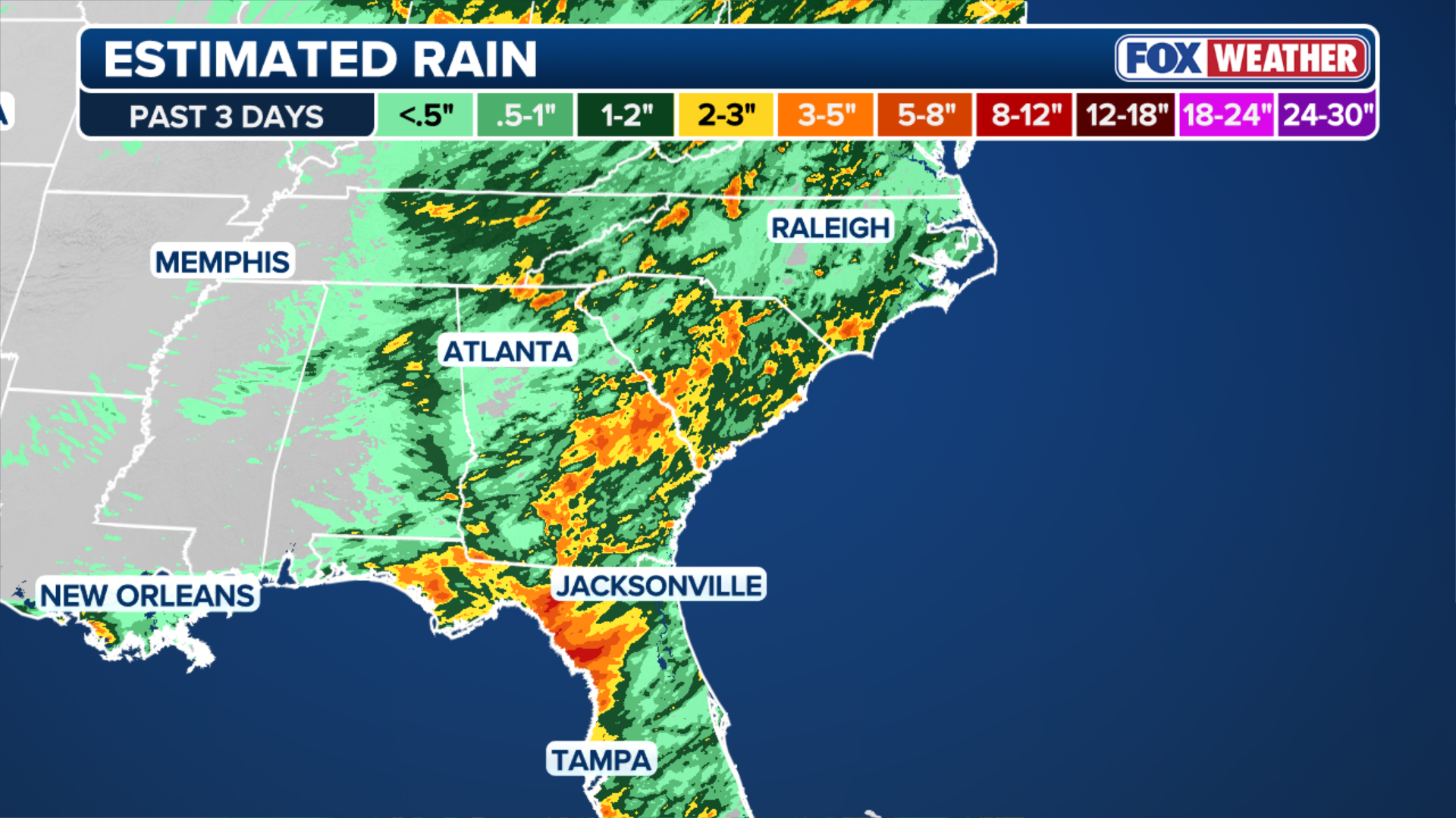
(FOX Weather)
These storms will stay near the coast for the vast majority of the day, with rainfall rates expected to reach 1 to 2 inches per hour.
On Wednesday, a slow-moving upper-level system over the Southeast will begin to get cut off from the main flow of the jet stream.
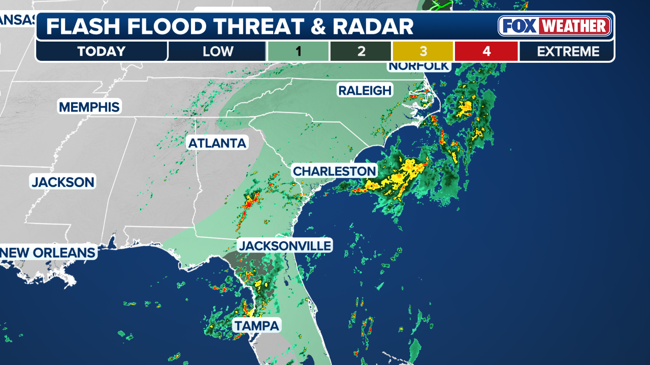
(FOX Weather)
As it stalls, it will pull in additional moisture, leading to several days of widespread showers and thunderstorms.
"The biggest concern with this setup is more heavy rain. Storms will move slowly and could repeatedly develop over the same areas, increasing the risk of flash flooding," the FOX Forecast Center said.
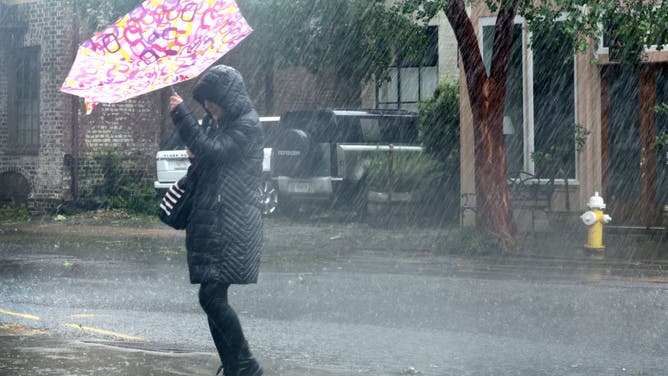
FILE: A pedestrian navigates a driving rain in Charleston, South Carolina.
(Scott Olson / Getty Images)
The main flooding concern stretches from the Deep South into the Tennessee Valley and southern Appalachians. Storms will continue through the evening and overnight hours on Wednesday.
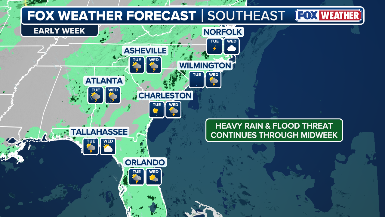
(FOX Weather)
A heightened flash flood threat exists across southern South Carolina, where a level 2/4 flash flood threat sits closer to Charleston, with the greatest concern stretching from the Deep South into the Tennessee Valley and southern Appalachians.