The Hurricane Andrew timeline began on this day in 1992 while the tropics are quiet in 2022
30 years ago today, on Friday, August 14, 1992, the disturbance that would become Hurricane Andrew moved off the coast of Africa. In 2022, the only disturbance on the map is just moving over the coast of South Texas. It’s very unlikely that an organized circulation will develop within the system, which would classify it as a tropical depression.
The podcast Tracking the Tropics with Bryan Norcross is now available to stream
(FOX Weather)
Updated at 8:45 a.m. Eastern:
It began 30 years ago today, Friday, August 14, 1992. The disturbance that would become Hurricane Andrew moved off the coast of Africa. The system took 10 days to cross the Atlantic and coalesce into an unimaginable Category 5 storm.
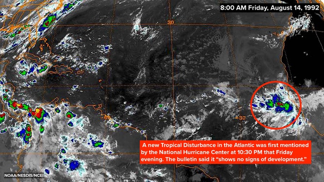
The first satellite image for what would become Hurricane Andrew on August 14, 1992 at 8:00 A.M. EDT
(NOAA/NESDIS/NCEI / FOX Weather)
The National Hurricane Center first made note of the system at 10:30 PM that Friday. It was a blob of clouds with no sign of a circulation. NHC forecaster Richard Pasch noted that the system "shows no signs of development." Which at that moment was true.
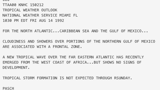
The first bulletin for what would become Hurricane Andrew on August 14, 1992 at 10:30 P.M. EDT.
(NHC / FOX Weather)
It would take two days over the Atlantic before the disturbance had a defined circulation.
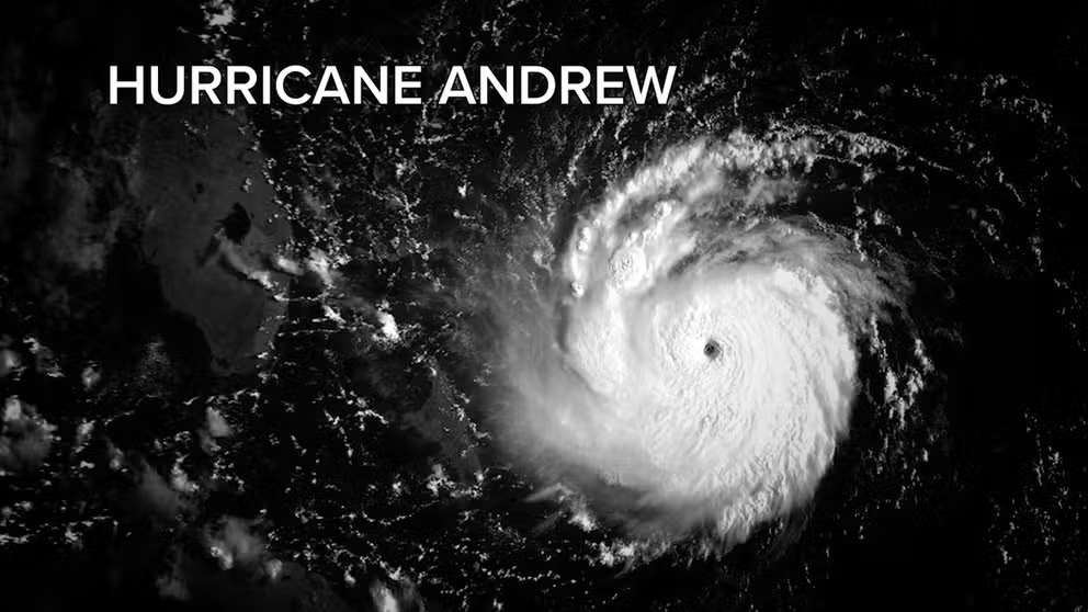
Hurricane Andrew: 30 years later
A tropical disturbance that would become Hurricane Andrew began 30 years ago today -- August 14, 1992. Fox Weather specialist Bryan Norcross takes you through its path.
In 2022, the only disturbance on the map is just moving over the coast of South Texas. It’s very unlikely that an organized circulation will develop within the system, which would classify it as a tropical depression.
The threat from this system is the heavy rain that is expected to fall over the southern part of Texas. All of Texas is in a drought condition, so the rain is welcome, up to a point. In some areas, flooding may occur because too much rain comes all at once. The heavy-rain threat continues into tomorrow.
In the tropical Atlantic, the atmosphere continues to be dominated by dry, dusty air. Nothing is expected to develop this week, which is starting to get unusual. The peak of the hurricane season nominally begins on August 20th.
FOX Weather Hurricane Specialist Bryan Norcross has a podcast, Tracking the Tropics with Bryan Norcross, available now on FOX News Audio. You can get it on your device by clicking here.