

Bryan Norcross: Hurricane Lowell’s impacts will peak late tonight over the western Hawaiian Islands
A Hurricane Warning is in effect for Kauai and Niihau. That means that winds over 75 mph are expected somewhere on both of those islands. On Kauai, up to 14" of rain is forecast at the highest elevations. Flash flooding and mudslides are possible especially on the steep slopes.
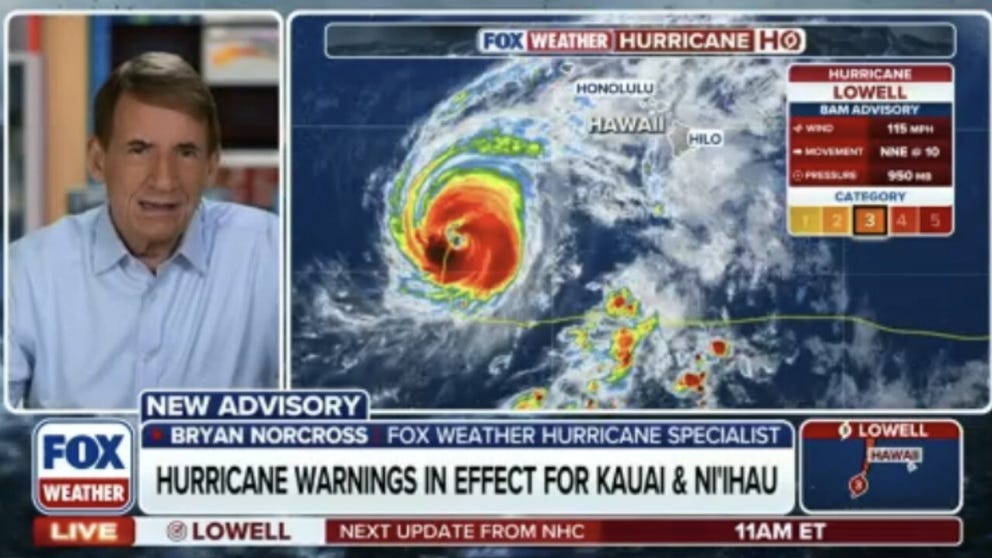
FOX Weather Hurricane Specialist Bryan Norcross live as rain bands from major Hurricane Lowell lashing Kauai and Oahu
As rain bands from Hurricane Lowell start to slam parts of Hawaii, FOX Weather Hurricane Specialist Bryan Norcross joins to talk about the storms impacts already being felt in Hawaii. Norcross gives his exclusive analysis on the storm so far and what is to come as Hurricane Warnings are now in place for parts of the island chain. Stick with FOX Weather for the very latest:
Hurricane Lowell is on final approach to the waters just west of the main Hawaiian Islands. The center of the storm should miss Niihau, a small island just west of Kauai, by 100 miles or so. That means the worst of the weather – the core of the storm – should stay offshore. But Niihau looks likely to experience some hurricane force winds. On Kauai, the winds will be especially strong around the mountains and the higher elevations.
POWERFUL CATEGORY 3 HURRICANE LOWELL BARRELS TOWARD HAWAII, PROMPTING HURRICANE WARNING FOR KAUAʻI
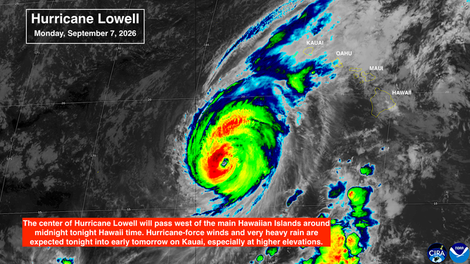
Satellite imagery of Hurricane Lowell.
(CIRA)
A Hurricane Warning is in effect for Kauai and Niihau. That means that winds over 75 mph are expected somewhere on both of those islands. Winds are stronger aloft in a hurricane, and the mountainous terrain enhances the wind in some locations and blocks it in others. The strongest winds will likely occur near the mountain peaks and passes and down the back side of the mountain.
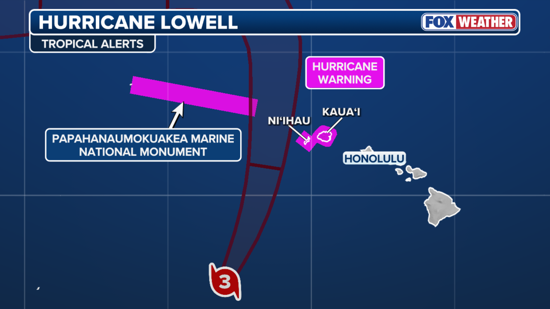
(FOX Weather)
On the current schedule, the peak winds will arrive this evening Hawaii time, peak around midnight, and continue into the overnight hours.
TRACK HURRICANE LOWELL: PATH, FORECAST CONE, SPAGHETTI MODELS, WIND AND MORE
Tropical moisture will spread over the islands through the day today. Again the mountains will enhance the impacts. On Kauai, up to 14" of rain is forecast at the highest elevations. Flash flooding and mudslides are possible especially on the steep slopes. On the Big Island of Hawaii, very heavy rain is forecast as well on the same slopes that were so damaged by Hurricane Lala.
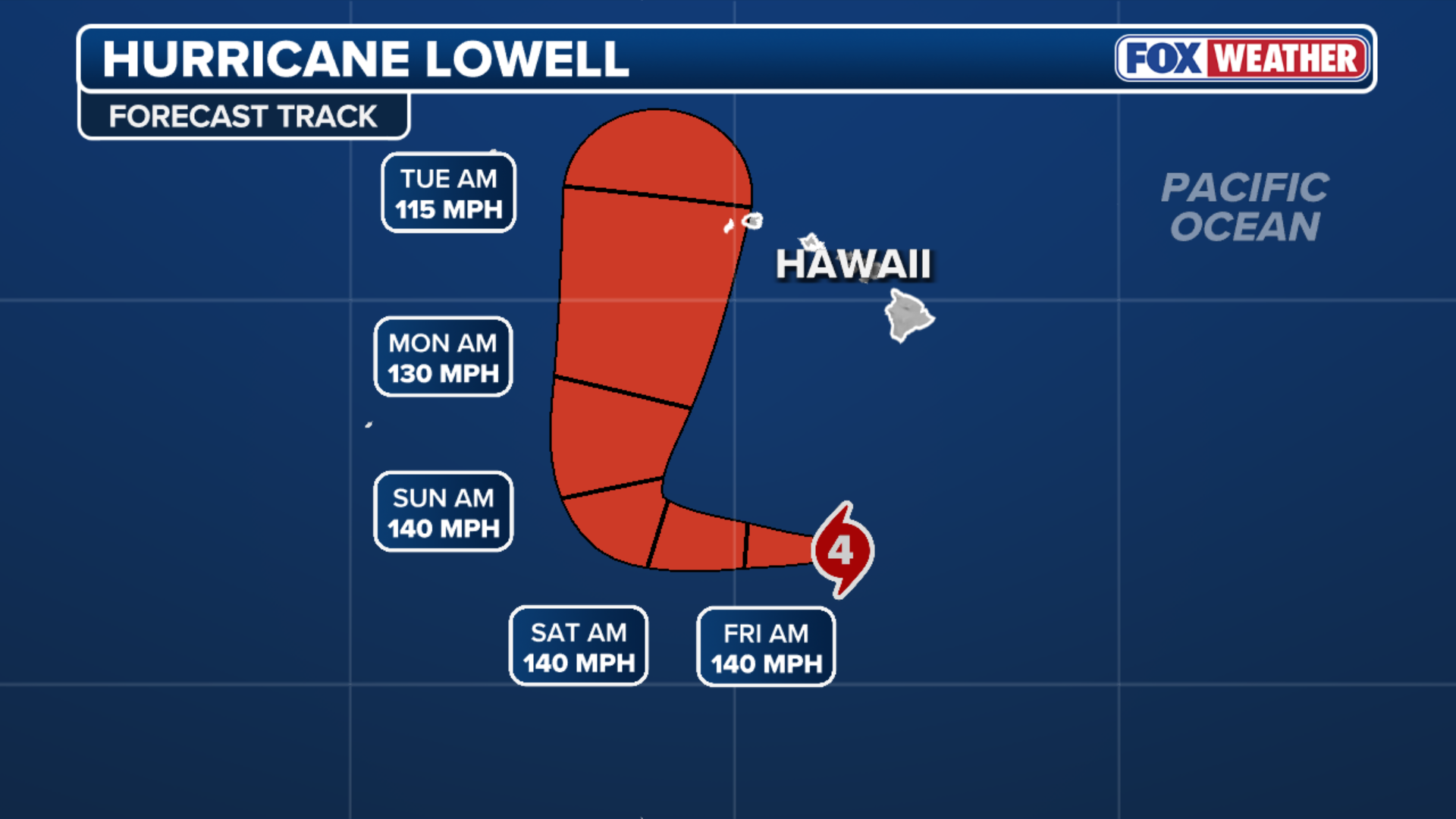
(FOX Weather)
Throughout the Hawaiian Islands, there will be pockets of heavy rain, especially on the windward slopes. Stay well informed about flood alerts being issued by the National Weather Service in Honolulu.
WHAT IS BAROMETRIC PRESSURE AND WHAT DOES IT MEAN FOR HURRICANES?
Lowell will move past the islands tomorrow and the weather will rapidly improve. The backside of the storm is fairly dry. Although some bands of tropical rain and pockets of gusty winds are still likely.
Everybody in the western part of Hawaii should be ready for the power to go out and to take care of themselves in case downed trees block access roads.
Elsewhere in the Pacific
Karina is gone and Marie is dying out, but their effect on the California coast continues. Ocean swells from both storms are creating dangerous currents and large powerful waves. Some flooding of low-lying areas and coastal erosion is likely for at least the next couple of days.
The unusual September rain in Southern California will be a memory by this afternoon. It will be bright and sunny at the beach, but dangerous. Pay attention to local instructions.
In the Atlantic
It's increasingly likely that we will pass the peak of the hurricane season with no more tropical activity in the Atlantic, the Caribbean, or the Gulf. In fact, it's possible that no storms will form in the tropical Atlantic this year at all. The long-range computer forecasts show that the El Niño-driven hostile upper-level winds will block any development for the foreseeable future.
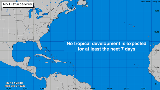
Atlantic Basin.
(Bryan Norcross / FOX Weather)
An extreme El Niño is creating extreme conditions across the tropics. We thought that was possible, although by definition we have very little experience with record events. But here it is.
The offshoot is that the most likely place that a storm will develop this year will be in the Gulf or in the waters off the East Coast of Florida and the Southeast U.S. Development in these areas is usually related to a cold front or a sharp dip in the jet stream. That kind of weather pattern becomes more likely late in September and through October.
For now, there's nothing to look at.