

Bryan Norcross: On this date 100 years ago and a Fausto update for Hawaii
Large swells and dangerous surf will impact the east and north-facing coastlines of all the Hawaiian islands, starting with the Big Island today.
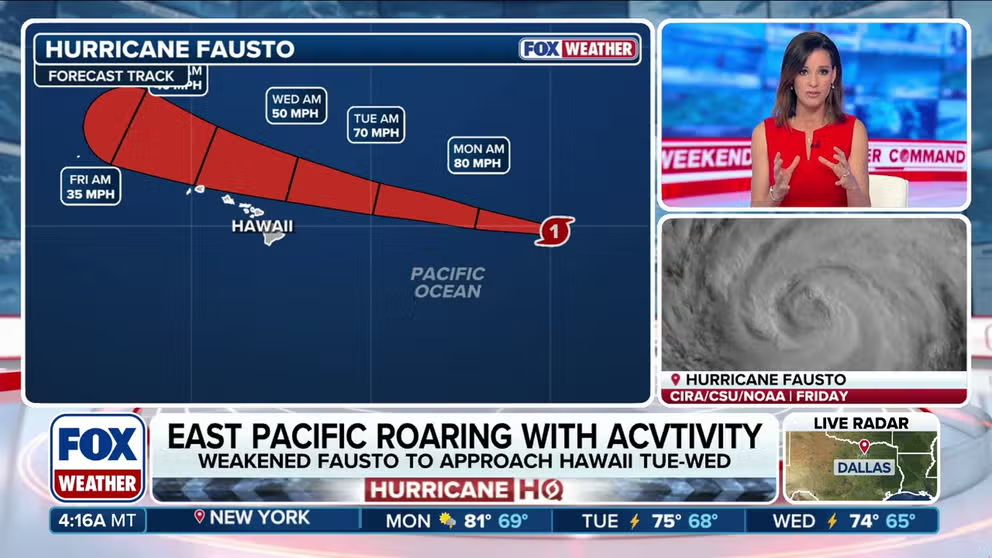
Fausto weakens near Hawaii while Hurricane Genevieve ramps up in Eastern Pacific
HURRICANE HQ 🌀: As activity continues churning in the Eastern Pacific, Hurricane Fausto continues to weaken. Meanwhile, Tropical Storm Genevieve continues its track to become the season's first major hurricane, forecast to reach Category 4 intensity. FOX Weather Meteorologist Melanie Black breaks down the latest updates and tracking.
100 YEARS AGO TODAY
In the morning hours of July 26, 1926, a Category 4 hurricane was bearing down on Nassau in the Bahamas. The storm would hit the island dead on. Around noontime, the eye passed directly overhead.
There was severe flooding and widespread damage across the Bahamian capital and on surrounding islands. They said it was the worst storm in 125 years. Some 300 people died. The modern estimate is that the winds were about 130 mph when the hurricane slammed Nassau, but there is no conclusive data available.
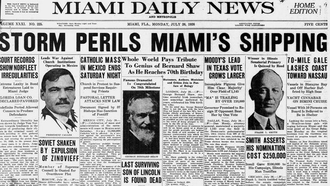
The front page of the Miami Daily News 100 years ago.
(FOX Weather)
In Miami, the wind increased through the day so that it was blowing hard along the beaches that night. Northeast storm warning flags were flying from Key West to Jupiter, north of the Palm Beaches. (The alert is similar to a tropical storm warning in today's system.)
In the Miami News that afternoon, shipping was the big concern. They reported that communication with Nassau was lost. The meteorologist in charge in Miami, Richard Gray, expressed confidence, however, that the worst of the storm would stay offshore, but Florida would feel the effects of the hurricane from Miami Beach to Daytona Beach.
WHAT IS A CATEGORY 4 HURRICANE?
People in Miami had no idea that this July storm was Mother Nature's opening salvo in a hurricane season that would change their lives forever. There were three more storms yet to come.
IN THE ATLANTIC
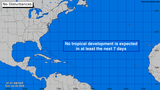
No tropical activity expected in the Atlantic basin over the next severn days.
(FOX Weather)
The mid-summer pause continues.
BRYAN NORCROSS: THE ATLANTIC GOES QUIET AFTER BERTHA FADES AWAY
HURRICANE FAUSTO LIKELY TO MISS HAWAII
Confidence is increasing that the center of Fausto will pass Hawaii to the north. The storm is now a Category 1, and cooler water and hostile upper winds are dead ahead.
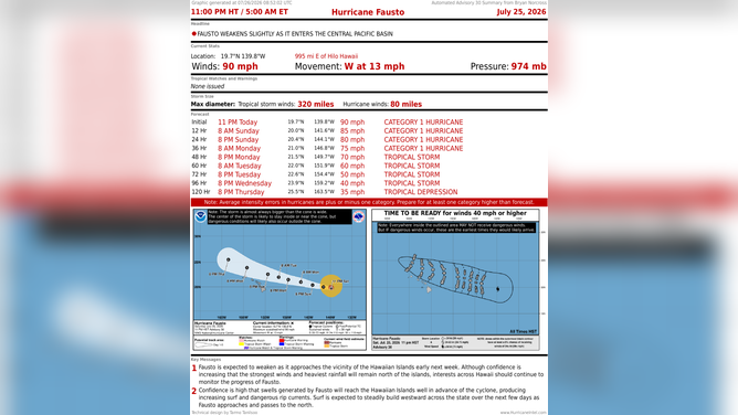
The latest on Hurricane Fausto.
(National Hurricane Center)
The system will likely be at tropical storm strength when it arrives well north of the Big Island late Tuesday. The weakened version of the system will be asymmetric, with its strongest winds on the north side of the circulation – the opposite side from the islands.
Large swells and dangerous surf will impact the east and north-facing coastlines of all the islands, starting with the Big Island today.
FAUSTO WEAKENS NEAR HAWAII AS GENEVIEVE AIMS TO BECOME SEASON'S FIRST MAJOR HURRICANE
Everybody in Hawaii should stay informed just in case something unexpected happens to the track of Fausto, but it's looking good right now.