

Tsunami Warning issued after massive magnitude 7.7 earthquake rocks Indonesia along the Pacific Ring of Fire
The magnitude 7.7 earthquake was followed by at least 10 aftershocks in a region with a long history of powerful earthquakes.
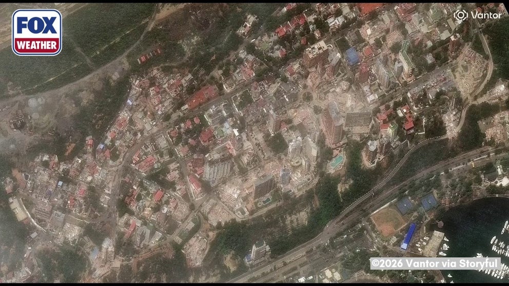
FILE VIDEO: Satellite images show before and afters of destruction in Venezuela after deadly earthquakes
Images from around La Guaira, Venezuela show the extent of damage following back-to-back major earthquakes on Wednesday night. The death toll is expected to rise as search and rescue efforts continue.
INDONESIA – A major magnitude 7.7 earthquake, followed by a series of aftershocks, rattled Indonesia’s coast and triggered a tsunami warning, marking one of the strongest earthquakes recorded worldwide so far this year as the Pacific Ring of Fire remains active.
The magnitude 7.7 earthquake struck at 5:58 a.m. Central Indonesia time Saturday off the northern coast of East Nusa Tenggara, roughly 68 kilometers north-northwest of Ende, and was followed by several aftershocks that rattled Indonesia’s Flores region.
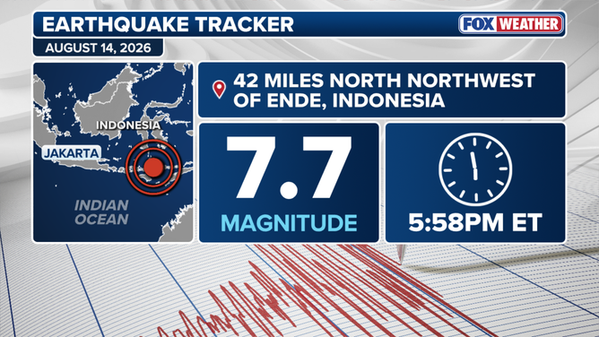
(FOX Weather)
An early tsunami warning was issued by Indonesia’s Agency for Meteorology, Climatology and Geophysics for parts of West Nusa Tenggara, East Nusa Tenggara, South Sulawesi and Southeast Sulawesi following the magnitude 7.7 earthquake.
According to the USGS, the magnitude 7.7 earthquake struck at a depth of 10 kilometers, or about 6.2 miles.
20 YEARS LATER: A LOOK AT THE DEADLIEST DISASTER TO STRIKE EARTH IN MODERN HISTORY
Early USGS estimates indicate that approximately 1.5 million people were exposed to strong to severe shaking, with some casualties and damage possible, though impacts are expected to be relatively localized.
Significant aftershocks
The magnitude 7.7 earthquake was followed by several aftershocks, all occurring in the early morning hours local time on Saturday.
Roughly 15 minutes after the main shock, at 5:13 a.m., a magnitude 5.9 earthquake struck about 36 kilometers northeast of Labuan Bajo.
At 5:18 a.m., a magnitude 5.6 aftershock was recorded roughly 61 kilometers north-northwest of Ende and about 7 kilometers from the magnitude 7.7 earthquake.
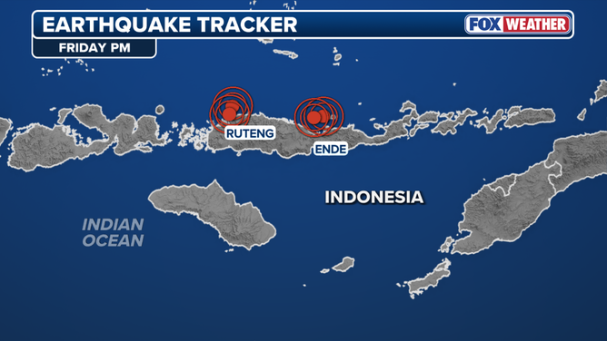
Major earthquake and several aftershocks rattle Indonesia
(FOX Weather)
Ten minutes later, at 5:28 a.m., a magnitude 6.1 earthquake struck in the same area, roughly 58 kilometers north of Ende.
Another aftershock followed at 5:37 a.m., when a magnitude 5.5 earthquake struck off the coast, about 49 kilometers northeast of Labuan Bajo.
At least 11 aftershocks occurred after the main shock.
According to USGS ground-failure modeling, there is significant potential for earthquake-triggered landslides in the affected region.
An active region along the Pacific Ring of Fire
According to the USGS tectonic summary, the earthquake resulted from reverse faulting at a shallow depth in a region with a long history of seismic activity.
"The earthquake is located in a seismically active area dominated by convergence between the Australia and Sunda plates," the summary said.
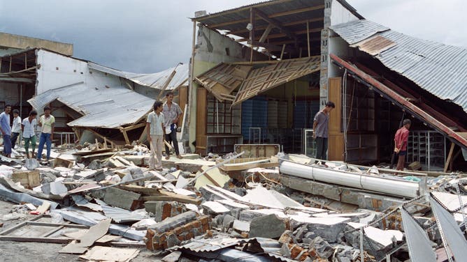
On December 14, 1992 at Maumere on the Flores Island in Indonesia showing survivors at the devastated beach among the ruins after the earthquake.
(UPALI ATURUGIRI/AFP via Getty Images / Getty Images)
According to the USGS, since 1950, there have been 37 other earthquakes of magnitude 6 and greater, including five other earthquakes of magnitude 7 and larger within 250 km of the August 14 earthquake.
In 1992, a magnitude 7.8 earthquake occurred just 63 km east-southeast of where the recent magnitude 7.7 earthquake occurred, and resulted in a tsunami that destroyed tens of thousands of homes and resulted in at least 2m500 casualties.