Florida researchers developing system to forecast where smelly sargassum seaweed is headed
The team is using a grant from NOAA to build a forecasting system that will be able to detect which beaches sargassum is bound about two to three days before it gets there.
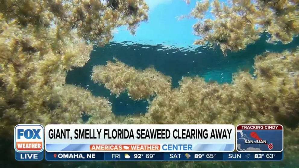
FILE: Smelly sargassum seaweed clearing away from Florida beaches
Sargassum levels in south Florida were originally expected to be historic, but now experts say the seaweed is clearing away this summer. FOX Weather multimedia journalist Brandy Campbell reports. June 23, 2023.
TAMPA, Fla. - Over the summer, millions of pounds of sargassum floated onto Florida's east coast beaches, piling up on the sand. Recently, the University of South Florida received a big grant to help forecast where piles of the foul-smelling seaweed will end up.
For the last decade, researchers have been studying a 5,000-mile-long stretch of seaweed from the shores of West Africa to the Florida Keys, known as the "Great Atlantic Sargassum Belt." In recent months, large clumps of it have washed ashore on Florida's east coast.
Knowing what beaches the sargassum is heading to before it gets there hasn't really been possible – until now.
"Offshore, we can monitor it with satellites," said Brian Barnes, Ph.D., an assistant research professor with USF's College of Marine Science. "We've been doing this for years and have some pretty high-tech techniques to really identify where the sargassum is and have some idea of where it's going, but again offshore it's not a problem. The problem is for these inshore communities."
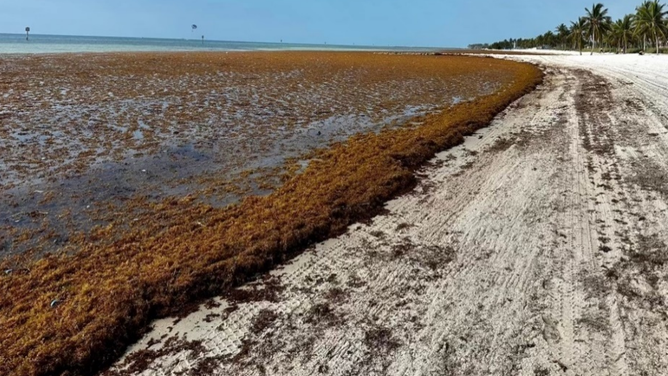
Smathers Beach seaweed on March 23, 2023.
(USF / FOX Weather)
Barnes will lead a team of researchers to help forecast sargassum blooms and prevent them from plaguing coastal communities thanks to a $3.2 million grant from NOAA. The agency recently announced $20.1 million in funding for sargassum seaweed research and monitoring projects.
The USF team will use the funds to develop a sargassum forecasting system.
'SURPRISE' DROP IN SARGASSUM SEAWEED FOR FIRST TIME IN OVER A DECADE, SATELLITE DATA SHOWS
"Nuclear power plants and things will sometimes have water inflows, and so they're very interested in knowing that there's a patch that's going to be impacting this particular location," Barnes said.
Two years ago, sargassum blocked the inflow of water into a desalination plant in the U.S. Virgin Islands affecting their supply of running water. As it stands right now, Barnes said the new forecasting system will be able to detect what beaches sargassum is headed to about two to three days before it gets there.
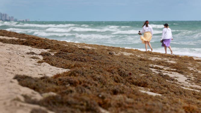
Beachgoers walk past seaweed that washed ashore on March 16, 2023, in Fort Lauderdale, Florida.
(Joe Raedle / Getty Images)
"Which is not enough time to set out like a floating barrier or something like that, but it is enough time to stage equipment," Barnes said. "Get your dump trucks ready."
The resolution of sargassum you can see with current satellites is a little more than a half-mile by a half-mile. With the grant, researchers will be able to use finer resolution satellites making it, so the smallest resolution is between 9 and 13 feet.
"That's the scale you really need to be looking at in order to identify sargassum patches that are meaningfully going to impact a region," Barnes said.